

Why Fine-Tuning Still Matters for Change Detection: A Deep Block Case Study on Rural Orthophoto Data

21 April 2026
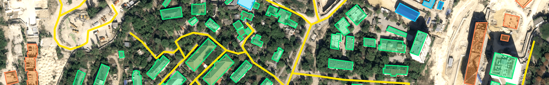
Pretrained change detection models are useful as a baseline. They are not guaranteed to perform...
11 minutes read


